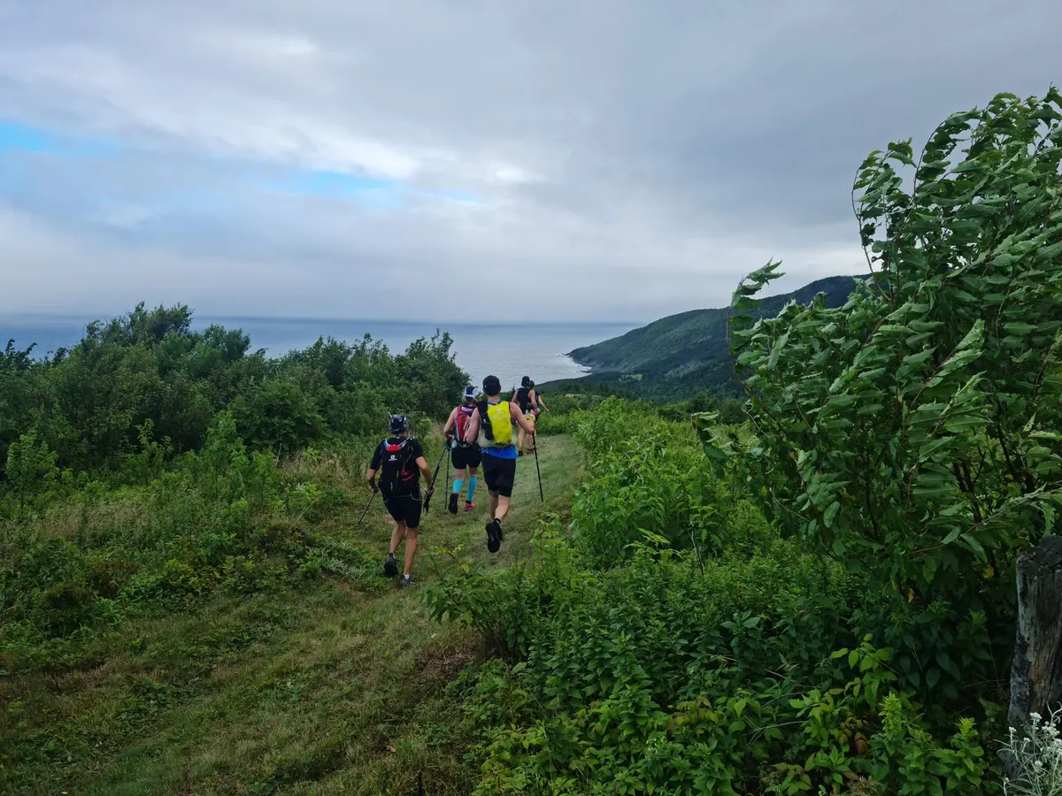
Cornwall holds the longest stretch of the South West Coast Path of any county, running roughly 300 miles from the Devon border near Marsland Mouth to the Tamar at Cremyll. Almost all of it is beautiful. Almost all of it is also harder work than the map suggests.
The mistakes that ruin a day on the path are rarely dramatic. They are small planning errors: eight miles planned as if it were flat, boots left at home for a stretch of granite steps, a ferry that stopped running in September, a headland reached two hours after high water. Here are the ones worth avoiding.
Planning by distance instead of by climbing
On the coast path, distance tells you very little. Cornish routes drop into a cove, climb out, follow the cliff for a while, then do it again. A walk of eight miles might include a dozen short, steep pulls, and those pulls take a great deal more time and energy than eight miles along a lane.
Use the ascent figure on the route description as your real measure, and compare any new walk to one you already know. Zennor to St Ives, or Pendeen to Sennen, will feel entirely different from a flat estuary walk of the same length.
- Rule of thumb: most walkers manage two to two and a half miles an hour on typical Cornish coastal terrain, and less on stepped or badly eroded sections.
- Add time for the interesting bits: photo stops, a swim, a cream tea, a harbour you cannot walk past without investigating.
- Cut your ambitions by a third if you are walking with children, carrying a heavy pack, or on your first coastal outing of the year.
- Keep a short option in reserve. Almost every good section has a village or a bus stop that will let you bail out early without much regret.
Forgetting that the sea sets the clock
Several stretches of the path run along beaches or cross ground that is only passable near low water. Whitsand Bay, the sand between Hayle and Godrevy, and parts of the north coast around Perranporth all need a glance at the tide table before you set off, and the causeway out to St Michael's Mount is famously a low-tide route.
Check the tide times for the day you are walking, not the day you planned the walk, and aim to be on any tidal section within a couple of hours either side of low water. If the sea is already pushing against the base of the cliffs when you arrive, turn around. There is always another day.
Ferries matter just as much. The Padstow to Rock, Helford Passage, St Mawes and Cremyll crossings all run seasonal or limited timetables, and missing the last boat can add several miles of road walking to a day that was already long enough.
Getting footwear and feet wrong
Coast path ground is rough in a very specific way: wet granite steps, loose slate, mud in the wooded south coast valleys around the Helford and Fowey, and long stretches of grass that hold water. Trainers with worn soles are the most common cause of an early finish.
What actually works
Trail shoes or walking shoes with proper grip are fine for dry summer paths. Lightweight boots earn their place in autumn and winter, and anyone with weak ankles will be grateful for the support on stepped descents. Sandals, wellington boots and box-fresh boots you have never worn are all bad ideas.
Socks matter as much as shoes: merino or synthetic, never cotton. Deal with hot spots the moment you feel them. Stop, dry the foot, and tape the area before it becomes a blister. If you have an existing foot, knee or ankle problem, take advice from a podiatrist or physiotherapist before committing to a long section rather than after.
Trusting a morning forecast with your whole day
Cornish weather changes quickly, and coastal weather changes faster still. Sea mist can swallow a headland in twenty minutes, and a bright start often ends in a soaking squall coming in off the Atlantic. The cliff tops are exposed even when the towns are sheltered.
Pack for worse than the forecast: a waterproof jacket with a hood, a spare warm layer, a hat, and more water than feels necessary. Sunburn on a cloudy June day is entirely normal here. Carry a paper map or an offline map download, because signal vanishes for miles in places like the Lizard, Zennor and the remote cliffs above Morwenstow.
Stay back from the edge. The cliffs are crumbly, erosion is constant, and ground that looks solid after rain sometimes is not.
Starting too late and finishing in the dark
Sunset in Cornwall ranges from around half past four in midwinter to nearly half past nine in June, which means the same walk can be an easy afternoon or a genuine problem depending on the month. Path surfaces are uneven, stiles and gates are easy to miss in fading light, and there is no lighting on the cliffs.
Aim to finish at least an hour before dusk, and add that hour to your estimate rather than hoping the last section will be quick. It never is.
Ignoring transport and escape routes
Most coast path walks are linear, so you need a way back. Seasonal coast path buses are excellent in summer and thin on Sundays and outside the school holidays. Car parks at popular access points fill early, and some sections have no road access at all for several miles.
Plan the return journey before you set off, save a couple of local taxi numbers to your phone, and know which village you would head for if someone in the group ran out of steam. Tell someone where you are going and when you expect to be back.
A routine that saves the day
None of this takes long, and all of it is easier the night before than halfway up a cliff. Check the tide, the forecast, the ferry times and the last bus. Match the route to the slowest person walking it. Pack water, food, a waterproof, a warm layer, a charged phone with an offline map, and a small torch even in summer.
Then go and enjoy it. The coast path rewards patience more than speed, and the best days on it are usually the shorter ones that leave time for a swim and a proper sit-down at the end.
Photo: Mark Twineham / Pexels