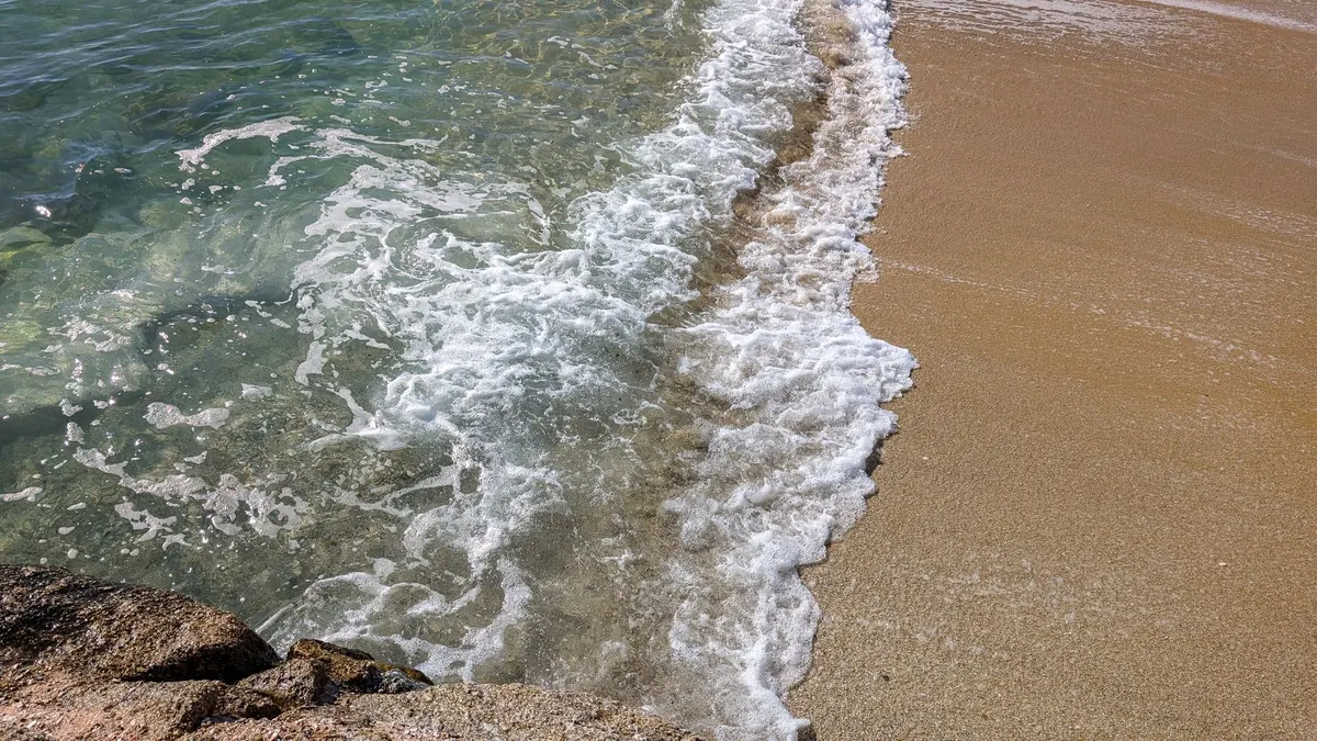
Stand at the top of Trebarwith Strand at half tide and the point of a tide table becomes clear. A beach you strolled across at lunchtime is under water by four o'clock, and the wide sand has shrunk to a strip against the cliffs.
Cornish tides are not timid. On the north coast the gap between high and low water can approach seven metres on a big spring tide, which means the sea covers a serious amount of ground in the time it takes to eat a pasty. Reading the table is a five-minute job. It is the difference between a good day out and a wet walk back along the cliffs.
What the numbers actually mean
Every harbour and headland has its own table, but they all work the same way: times for high water and low water, and heights in metres. Check whether the times are GMT or BST, because an hour's error in March or October genuinely matters.
Heights are measured above chart datum, a reference level set close to the lowest tide that can reasonably be expected. So a low water of 0.6m does not mean shallow water — it means the surface sits 0.6m above that reference, and in practice the lower the number, the more sand, rock, causeway and rockpool you get to explore. A low water of 2.4m is a much lazier tide; the beach never really opens up.
Many days have two slightly different high waters, one a little higher than the other. If the morning high is the bigger one, the afternoon flood is usually the gentler of the two — useful when you are deciding which end of the day to plan around.
High water, low water and the six-hour rhythm
The tide runs for roughly six hours in each direction, with a short slack pause at the top and bottom. The full cycle takes about 12 hours 25 minutes, which is why tomorrow's low water arrives around 50 minutes later than today's. Planning a week ahead? Add about an hour a day and you will spot the pattern well enough to choose your days.
Beaches are widest at low water. On a flat, open beach such as Perranporth or Gwithian, a comfortable window is roughly three hours either side of low tide — time to walk out to the rocks, poke about in a pool and amble back. On beaches hemmed in by cliffs, that window can be half as long.
Spring tides, neap tides and the days to watch
Around the new and full moon, the sun and moon pull together and you get spring tides: higher highs and lower lows. A week or so later, near the quarter moons, come the neaps, when the range shrinks and the sea seems to dawdle.
Springs are the days to plan properly. Low water opens up causeways, long sandbars and reefs that stay hidden the rest of the month, but the flood that follows is bigger and quicker. A beach you know well at neaps can behave like a different place altogether at springs, and the water can chase you up the sand faster than you expect.
Local quirks the table doesn't show
Official tables are usually published for a standard port — Newquay, St Ives, Falmouth, Padstow — with offsets for smaller places. A few things are worth knowing before you rely on them:
- Offsets add up. If your beach is listed as "high water 20 minutes earlier than Newquay", that is 20 minutes you must apply to every time in the table, not just to high water.
- Estuaries run late and rise fast. The Camel, Gannel, Hayle, Fal and Fowey behave differently from the open coast. A rising tide squeezing into a narrowing channel can fill a channel, and the sandbanks around it, surprisingly quickly. Rainfall and river flow add another variable.
- Causeways have their own rules. The crossing to St Michael's Mount is only walkable for a limited period either side of low water, and the safe times are published separately for good reason: the depth over the stones is not obvious from the shore.
- Some coves have no high-tide exit. Plenty of small bays along the north coast and around the Lizard leave you with a scramble over wet rock or nothing at all once the water is up. Know your way out before you go in.
Planning a beach day, step by step
- Find the nearest standard port to your beach and note the offset.
- Write down low water time and height. This is your anchor for the day.
- Count forward six hours to the next high water and note how high it is. Anything over about 5m on the north coast deserves respect.
- Mark a departure time in your head — around two hours before high water for a cliff-backed beach, three for somewhere flat.
- Check the wind and the forecast. A strong onshore wind and low pressure can push the water higher and further up the beach than the table suggests.
- Set a phone alarm for 30 minutes before your planned exit, and pick a landmark on the beach that tells you when to move — a particular rock, a line of weed, a groyne.
Where walkers get caught out
Any coast path route that touches sand, a stream crossing or a low-tide link deserves a look at the table before you set off. Walks that drop onto a beach and climb back up at the far end, crossings of the Gannel, beach sections between Porthtowan and Chapel Porth, and anything involving a causeway all come with a tide window.
Slack water is not a safe window in its own right — it just marks the turn. And if the path ahead is a beach that is narrowing, the answer is rarely to hurry. Turn around, take the cliff route, or wait it out somewhere sensible with a flask.
If you have to ask whether the tide has turned, it already has.
Before you leave the car park
Photograph the tide table on the harbour noticeboard with your phone. Tell someone where you are going and when you expect to be back. Carry a phone in a waterproof pouch, and remember that 999 and the coastguard work perfectly well from a beach with no signal for anything else.
Then relax and use the numbers properly. A falling tide gives you hours of space; a rising one gives you a deadline. Know which one you are standing in, and the Cornish coast is one of the best places in Britain to spend a day.
Photo: Robert Carnes / Pexels